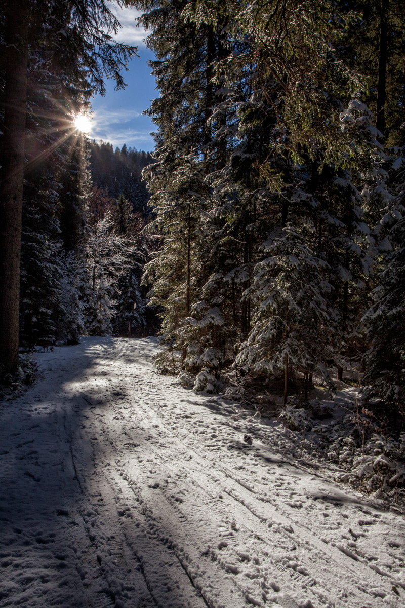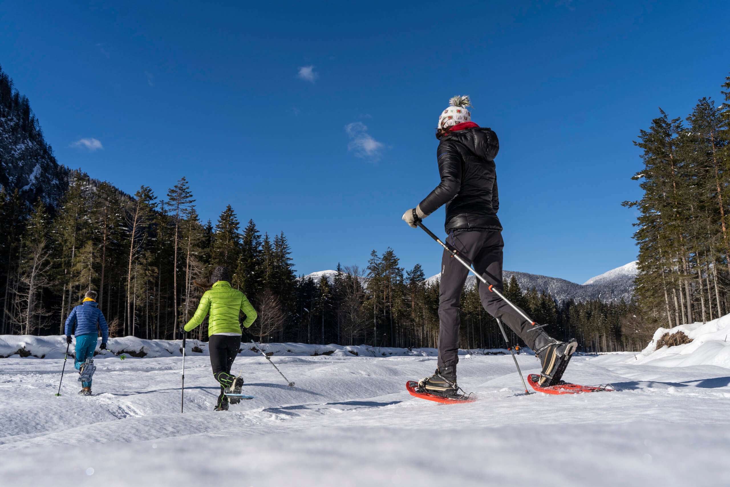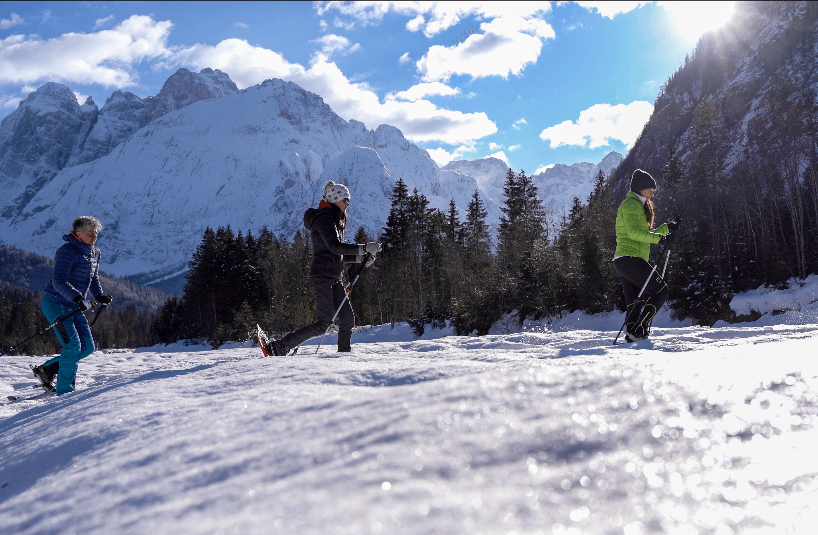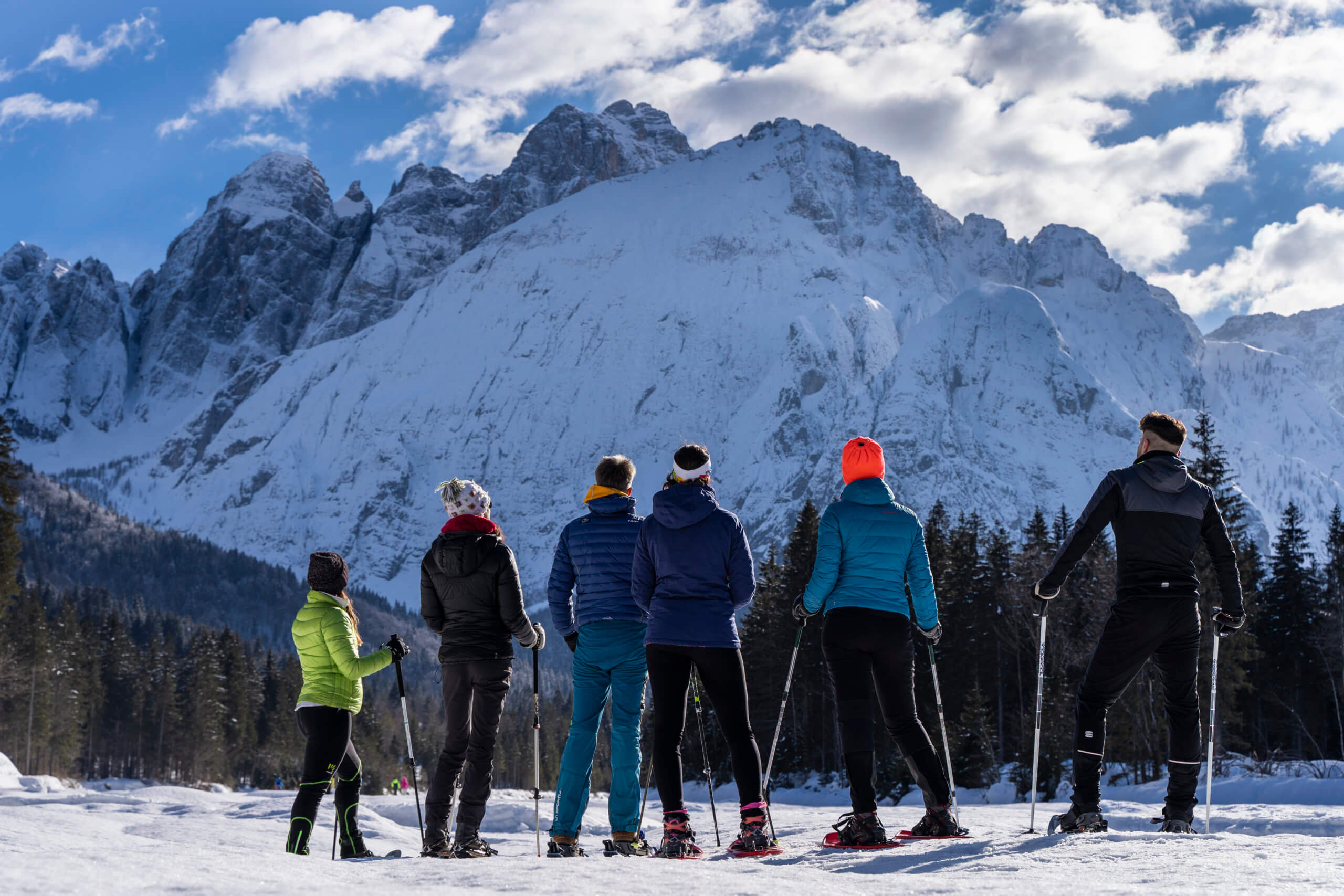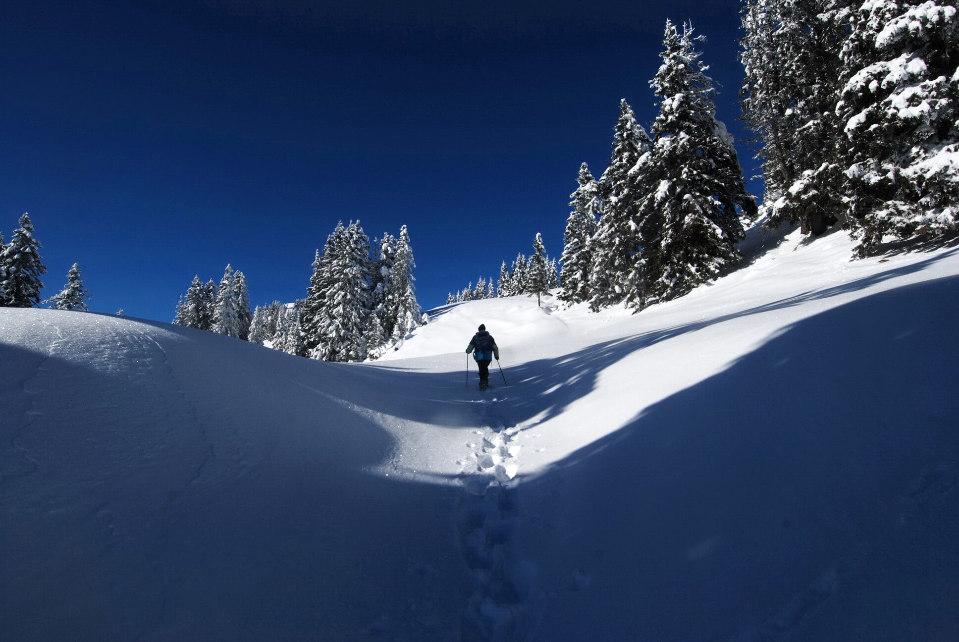
Snowshoeing in muffled silence
There are many ways to discover the mountain’s charm in Winter, one of these is to walk in the snow.
Off the beaten tracks, snowshoes turn out to be inseparable companions of adventures. Valcanale is the perfect place to venture with snowshoes completely alone, or if you prefer, you can take part in the next weekly guided tour
VALBRUNA BEISNER TRACK
Escaping from stress
*Guided tour of fort Beisner: Ass. Landscapes tel +39 334 1249193 / info@ls-valcanale.eu
Length: 3.5km
Can be walked in about 1 hour
Difficulty: easy
CLOSED
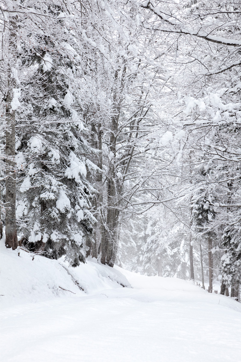
SAISERA WILD TRACK
A cure-all for the soul
A winter walk in the epic places of mountaineering and the front of the First World War. Along the route, you will find yourself in silent woods, under the harsh peaks of the Julian Alps and at the same time close to the huts and farmhouses of the valley, where you can stop for a break and taste local gastronomic specialities. In the final part of the route, you will reach the foot of the north face of the Jôf di Montasio, Julius Kugy’s favourite mountain, where the route winds in a ring through a fascinating landscape.
Length: 11 km
Can be walked in about 3 hours
Difficulty: easy
CLOSED
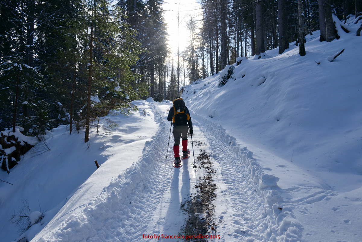
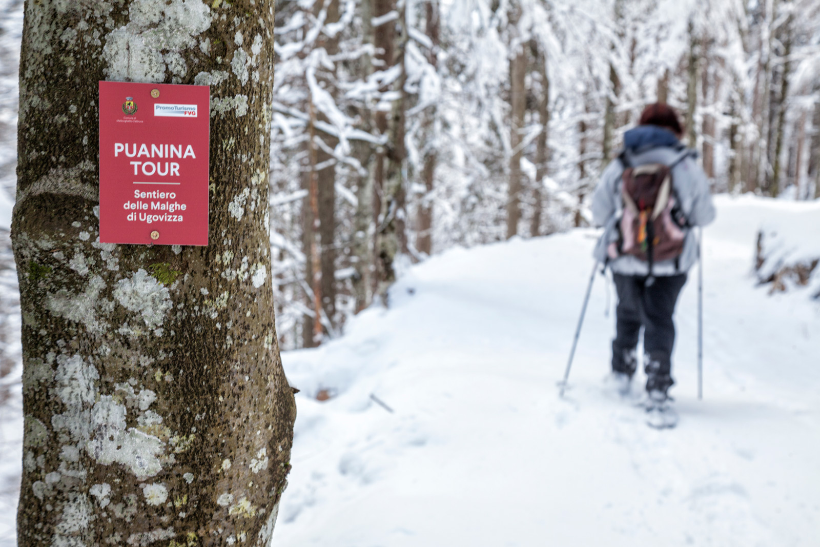
PUANINA WINTER
Ski mountaineering and snowshoeing on the Ugovizza Alps
Snowshoeing route along the Puanina Tour
Difficulty: easy
| Tempo di percorrenza di sola andata | Distanza di sola andata | |
|---|---|---|
| Rifugio Gortani – Agriturismo “Da Rosic” e Locanda “Al Camoscio” | 1.30 h | Km 2.20 |
| P3 Val Uque – Agriturismo “Da Michael” | 1.10 h | Km 1.40 |
| Agriturismo “Da Michael” – Agriturismo Gacceman | 1.40 h | Km 2.40 |
| P6 – Rifugio F.lli Nordio-Deffar * dal Rifugio una bella passeggiata di 20 minuti porta a Sella di Lom (A) |
1.45 h | Km 2.00 |
Follow the Puanina Tour signposts along this route.
Ring route “Agritourism Gacceman”
Difficulty: medium
Can be walked in about: 4 hours
Starting point: P1 – former Sawmill
From the parking lot P1 – former Sawmill, hikers take the forest road to the Zafratta resort opposite the cappelletta (small chapel), which rises with some steep hairpin bends for about 1 km. Follow the signs of the Puanina Tour towards the Gacceman Agritourism until reaching it. The return route can be done in two ways: continuing on foot along the Val Filza Bassa road to the main road and, therefore, the P1, or retracing the beautiful outbound route.
Loop route “Agritourism Mezesnig”
Difficulty: medium
Can be walked in about: 03:30 hours
Starting point: P2 – Val Rauna
From the parking lot P2 – Val Rauna hikers should take a left following the signs for Malga Priu. At the barn of the agritourism of the same name, they should turn right onto the meadows and enter the woods. Following the Puanina Tour signs to Sella Collarice and Val Rauna – Via alta – then take a small road that, after about 1 km, reaches Mezesnig, a beautiful and extensive panoramic promontory. Descending then for about 500 metres on the climbing route, follow the signs for Sella Collarice. Once reached, descend again along the Val Rauna until you reach the Gortani Shelter and then the parking lot you started from.
Ring route “former Villaggio Cocco”
Difficulty: medium
Can be walked in about: 4 hours
Starting point: P2 – Val Rauna
From the parking lot P2 – Val Rauna hikers follow the signs to the Gortani Shelter.
At about 100 metres from the shelter, turn left along the forest road at first paved and then dirt until reaching the former Village Cocco, keeping to the right at a crossroad at 1448 meters of height. Then, continue along the road until you reach the extensive pastures of pad tamer, then take the road that descends to the right towards the Agritourism da Rosič. The ring route ends with the signs for the Puanina Tour near the Gortani shelter and the car park P2 – Val Ruana.